
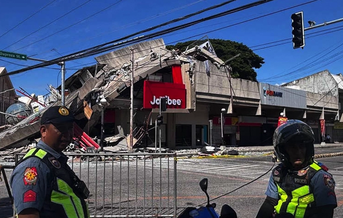

A Philippines earthquake measuring 5.9 magnitude struck off the coast near Sarangani on August 6, 2026, with no immediate reports of casualties or major damage.
MANILA: A Philippines earthquake measuring 5.9 on the Richter scale struck off the southern coast of the country on August 6, 2026, according to the United States Geological Survey (USGS).
The earthquake’s epicentre was located about 32 kilometres southwest of Sarangani, at a shallow depth of 10 kilometres. Shallow earthquakes are often felt more strongly than deeper ones, although their impact depends on the distance from populated areas and local geological conditions.
There were no immediate reports of casualties, injuries or significant property damage following the tremor. Authorities also did not issue any immediate tsunami warning.
Also read: Philippines raises Mayon Volcano alert to level three amid eruption fears
The Philippines lies along the Pacific Ring of Fire, one of the world’s most seismically active regions, where earthquakes and volcanic activity occur frequently due to the movement of tectonic plates. As a result, earthquakes of varying magnitudes are regularly recorded across the archipelago.
Local authorities are continuing to monitor the situation and assess affected areas. Residents were advised to remain alert for possible aftershocks and to follow guidance issued by emergency management agencies if necessary.
The Philippines earthquake comes as the country continues to strengthen its disaster preparedness measures in response to frequent seismic activity. Emergency response teams remain on standby, although no major incidents had been reported at the time of publication.
Officials said they will continue monitoring developments and provide updates if further information becomes available. For now, the Philippines earthquake appears to have caused minimal impact despite its moderate magnitude.