
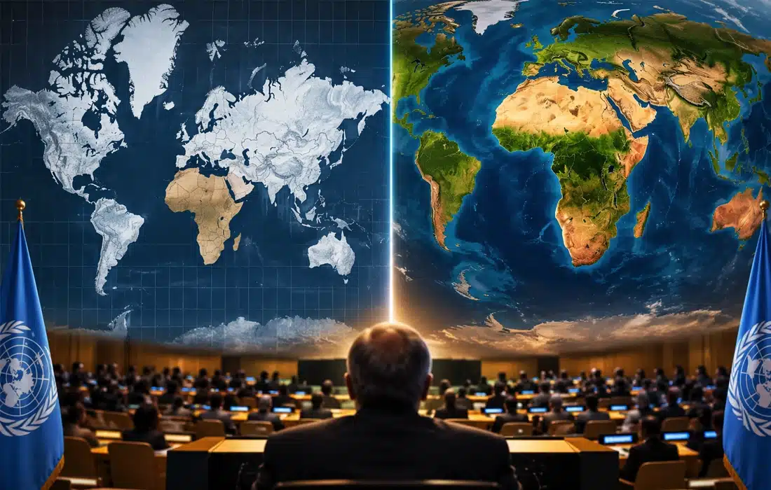

The UN supports using world maps that show the size of continents more accurately, especially Africa. This means using options other than the Mercator map.
NEW YORK: The United Nations General Assembly has supported a new effort to show the world more accurately on maps. The move has brought fresh attention to how the popular Mercator map makes Africa look smaller than it really is.
The UN world map resolution, called “Correct the map”, was adopted on September 4, 2026, after a campaign led by African countries. It encourages people to use maps that show the real size of countries and continents more clearly.
Also read: What really caused Nepal flood? Scientist reveals what happened in Himalayas
The Mercator map was created by Flemish mapmaker Gerardus Mercator in the 16th century. It is useful for navigation, but it makes areas near the North and South Poles look much bigger than they are. This can give people the wrong idea about the size of different places.
A clear example is Greenland and Africa. On many Mercator maps, Greenland looks close in size to Africa. In reality, Africa is about 14 times larger.
The resolution supports the Equal Earth map as another option when showing the size of continents matters. It does not call for an end to the Mercator map in sea or air navigation, where it is still useful.
Togo played a key role in the campaign backed by the African Union. Togo’s Foreign Minister Robert Dussey said before the vote: “A fair world begins with a fair map.”
France also supported the effort. It said it plans to stop using Mercator maps in some official materials and use maps that show land areas more accurately.
Also read: UN climate warning says the world is running out of time
The debate is about more than map design. Supporters say maps shape how people understand the size and importance of different parts of the world. This is especially true when people see the same map in schools, news reports and public offices.
Campaigners now want schools, publishers, newsrooms, governments and online platforms to consider maps that show the world in fairer proportions.
Impact to expect
The decision could slowly change how Africa and other regions appear in schools, the media, government documents and online services. It will not change borders or geography. It is about showing existing land areas in a way that better matches their real size.
The resolution is not legally binding, so each government, school, organisation and technology company will decide whether to use a different map.
The UN world map effort may have its biggest long-term effect in education. It could help future generations build a clearer understanding of the size of continents and countries.