Apr 29 2024
Emergence of Earth’s new island captured in satellite imagery
Sat 16 Dec 2023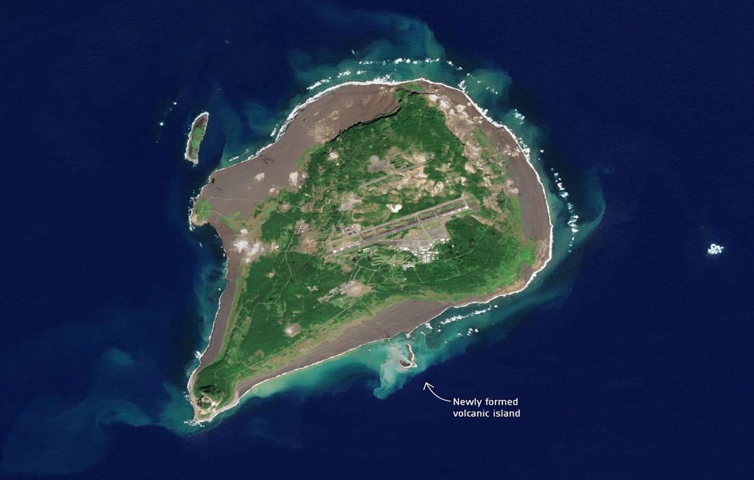
In a remarkable display of geological evolution, satellite photos have recently documented the gradual formation of the world’s latest island in the Pacific Ocean. This phenomenon, driven by tectonic forces and volcanic activity, offers a rare insight into the dynamic processes shaping our planet.
The imagery presents a comprehensive visual narrative, showing the island’s transition from an underwater feature to an actual landmass. This geological transformation is proof of the delicate balance between tectonic plate movements and volcanic eruptions, unfolding over an extended period.
Scientists and researchers are closely monitoring this development, aiming to get insights into the geological mechanisms influencing the creation of new land. Beyond its scientific significance, the emergence of this island prompts considerations of ecological impact, as islands often become habitat for unique ecosystems and biodiversity.
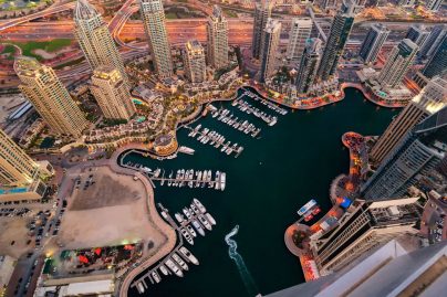
Explore this private island at The World – Dubai – for as little as Dh199
While the satellite images provide an interesting perspective from space, on-ground scientists are preparing for potential research growth. The study of ‘sleeper’ islands contributes valuable data to our understanding of Earth’s geological history and ongoing processes shaping its topography.
This natural spectacle is more than a visual marvel… it underscores the dynamic and ever-evolving nature of our planet. The birth of Earth’s newest island serves as a reminder that geological forces continue to shape our world, offering a nuanced narrative of Earth’s geological processes over time.
Also read: Kenya announces Visa-Free travel for all visitors