

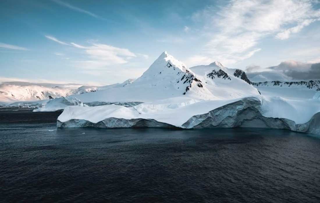

Scientists unveil a high-resolution map revealing Antarctica’s subglacial terrain with over 30,000 hills, aiding future sea-level rise forecasts.
EDINBURGH: A team of scientists has released the most detailed map yet of Antarctica’s subglacial landscape, revealing a striking array of hidden mountains, valleys, plains and more than 30,000 previously undetected hills beneath the vast Antarctic ice sheet. The breakthrough is expected to improve climate models and projections of global sea-level rise.
The map, developed using high-resolution satellite imagery and a method called ice-flow perturbation analysis, offers an unprecedented view of Antarctica’s bedrock features. These include terrain formations as small as 50 metres high, hills that had never been identified before due to limitations in earlier radar surveys.
“Having the most accurate map of Antarctica’s bed shape is crucial,” explained Professor Robert Bingham of the University of Edinburgh, who co-led the study. “It helps determine friction under the ice, which affects how rapidly ice flows toward the ocean and melts, thereby contributing to sea-level rise.”
The Antarctic Ice Sheet, Earth’s largest single ice mass, contains around 70 percent of the planet’s freshwater. Understanding the terrain beneath this ice is vital to modelling how it may behave under warming conditions. Studies have shown that rugged landscapes, such as jagged hills and mountains, can slow the retreat of the ice.
Glaciologist Helen Ockenden from the Institut des Geosciences de l’Environnement in France, lead author of the study, noted the innovative approach enabled researchers to bridge large data gaps left by previous aerial radar mapping methods.
“Traditional methods often left gaps of up to 150 kilometres,” she said. “Now we can combine satellite surface data with the mathematics of ice flow to map the hidden landscape across the entire continent.”
Antarctica’s buried terrain was sculpted before it froze over more than 34 million years ago, shaped by tectonic shifts and ancient rivers. The continent, once joined with South America, was gradually isolated through the movement of Earth’s plates.
Published in the journal Science, the new map will support more accurate forecasting in global climate reports, including assessments from the UN’s Intergovernmental Panel on Climate Change (IPCC). It may also be used in future studies to understand past geological changes and aid international efforts to mitigate the impacts of climate change.